
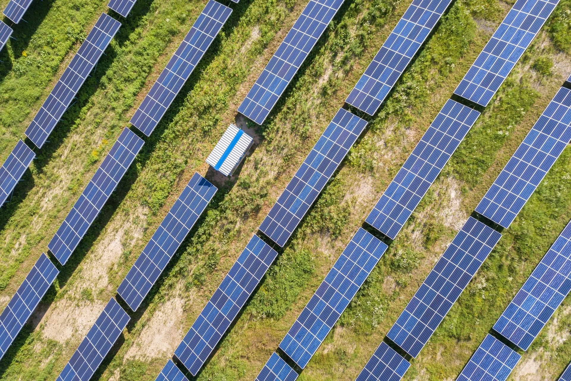
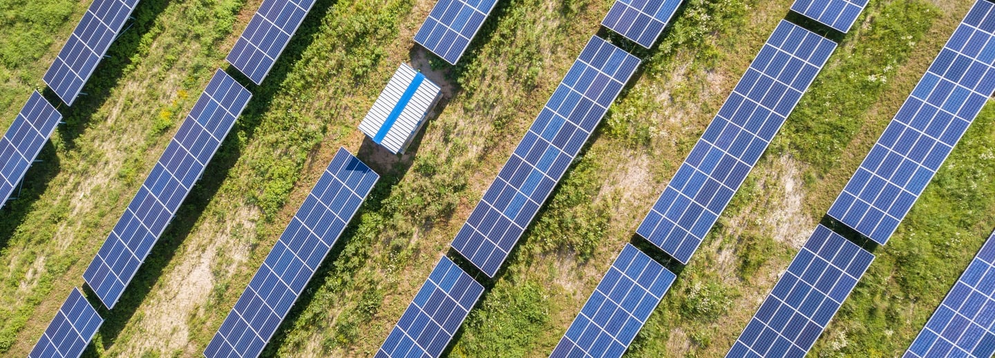
Solar Parks
FlyDroneD uses 3D photogrammetry technology for inspecting mapping and surveying of solar parks.
Site Surveying and Mapping: With 3D photogrammetry technology, we can create detailed maps and 3D models of the construction site. This helps in planning the layout and positioning of solar panels
Progress Monitoring: Capture aerial images and videos to monitor construction progress. This allows project managers to track the development and identify any delays.
Safety and Compliance: Identify potential safety hazards and ensure that construction activities comply with safety regulations. This reduces the risk of accidents and improves overall site safety.
Data Integration: The data collected can be integrated with specialized software for analysis and reporting. This helps in generating detailed inspection reports, tracking historical data, and planning maintenance activities.
Visual Inspections: High-resolution cameras can capture detailed images of solar panels and other components. This allows for thorough inspections without the need for manual checks, saving time and reducing risk.
Connect
Your A to Z company on every drone-related topic
Services
Support
sales@flydroned.com
+31627364648
© 2024. All rights reserved. Click for our General Terms and Conditions