
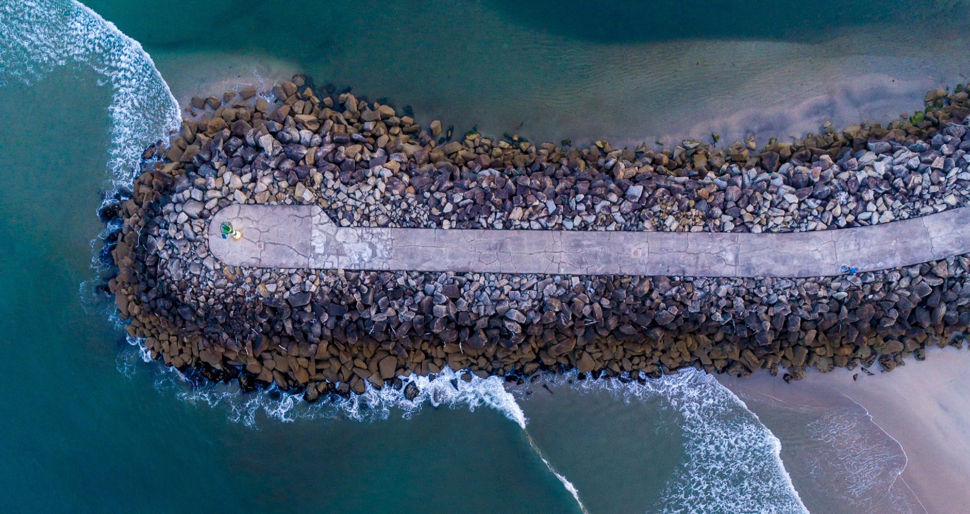
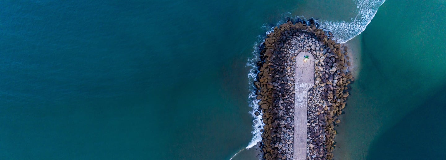
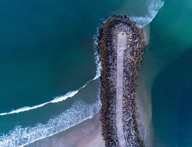
Shoreline Defense Inspection
FlyDroneD can use 3D aerial topographic survey and LiDAR technology for inspecting Shoreline defenses.
Drones equipped with high-resolution cameras capture detailed aerial images of the terrain.
These images are processed to create 3D maps of the area, providing a comprehensive view of the topography.
This method allows for the quick collection of data over large areas, which is crucial for monitoring and maintaining shoreline defense like breakwaters and dunes.
3D Aerial Topographic Survey
LiDAR Technology
LiDAR (Light Detection and Ranging) uses laser pulses to measure distances to the ground and other surfaces.
When mounted on drones, LiDAR can generate high-resolution 3D point clouds that accurately represent the terrain.
This technology is particularly useful for penetrating vegetation and capturing data in challenging environments, making it ideal for inspecting natural features.
Connect
Your A to Z company on every drone-related topic
Services
Support
sales@flydroned.com
+31627364648
© 2024. All rights reserved. Click for our General Terms and Conditions